MCNY Wishes a Happy 200th to the Streets of NYC
February 22, 2012

It’s hard to believe that at one point, 60th and Columbus, the location of Fordham College at Lincoln Center (FCLC), was once the site of hills, rock formations and open grassy areas that can only be found in Central Park today. From now until April 15, Museum of the City of New York is displaying the exhibit “The Greatest Grid: The Master Plan of Manhattan, 1811-2011.”
This exhibit celebrates the 200th anniversary of the Commissioner’s Plan of 1811 that kicked off the program to transform New York’s naturally rugged terrain into the well-organized map of streets and avenues that we all know and love. This exhibit allows residents of the city and tourists alike a rare insight into one of the city’s most prominent, but overlooked features.
The exhibit takes visitors through a comprehensive history of the grid layout, from its original conception, all the way to how modern day New York City has adapted to the structure. This includes surveying the land and laying down the roads, as well as the interspersion of buildings and parks of all shapes and sizes.
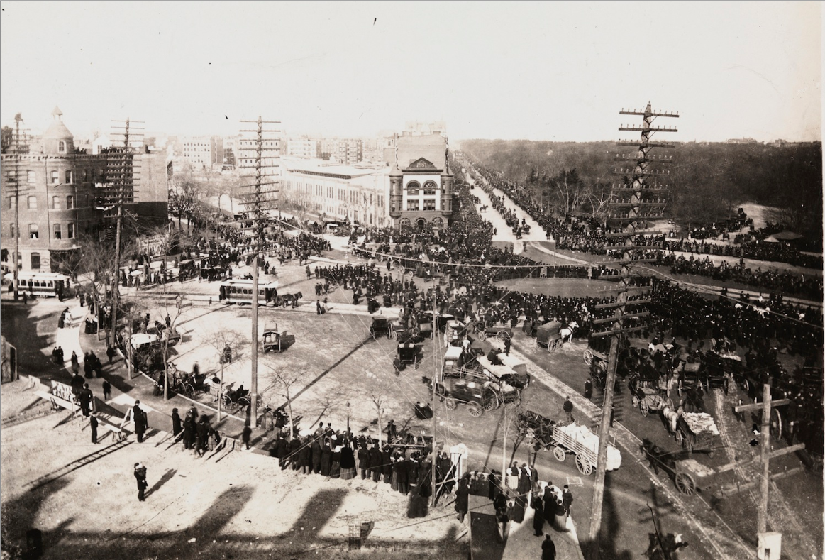
The exhibit offers a first hand look at the planning and execution of the grid, providing original pictures, maps, documents and other artifacts. These help the museum-goer to fully understand not only what it was like to plan the ambitious project, but also how laborious it was to bring those plans into fruition.
The original plan was for the grid to extend from Houston Street (then called North Street), to about 155th Street up in the heart of modern day Harlem. The planners envisioned a city that would be oriented east to west, which is the reason why today there are so many more streets than avenues.
The grid ended at Houston Street because the builders were confronted with the rough terrain of the land that is today’s West Village and below. The streets below Houston are less uniform as to better accommodate this change in the topography.
Broadway, which extends diagonally all the way through the Upper West Side and beyond, seems to be the odd street out, plowing right through the orderly streets and avenues. But Broadway was originally a trail that wound through Manhattan’s original terrain. The way that Broadway winds through the city provides many special urban design opportunities, like parks nestled between streets and innovations in building architecture, as exhibited by buildings like the Flatiron between Fifth Avenue, and Broadway at 22nd Street.
The grid, though seemingly finished, is still a work in progress. The Great Grid’s sister exhibit, “The Unfinished Grid: Design Speculations for Manhattan,” displays the eight winning projects of a contest put on by the Architectural League of New York. The contest invited architects and urban designers to design ideas for the future of the city, and speculate as to whether the tried and true grid will be able to stand the test of time and make it through any future progress.


